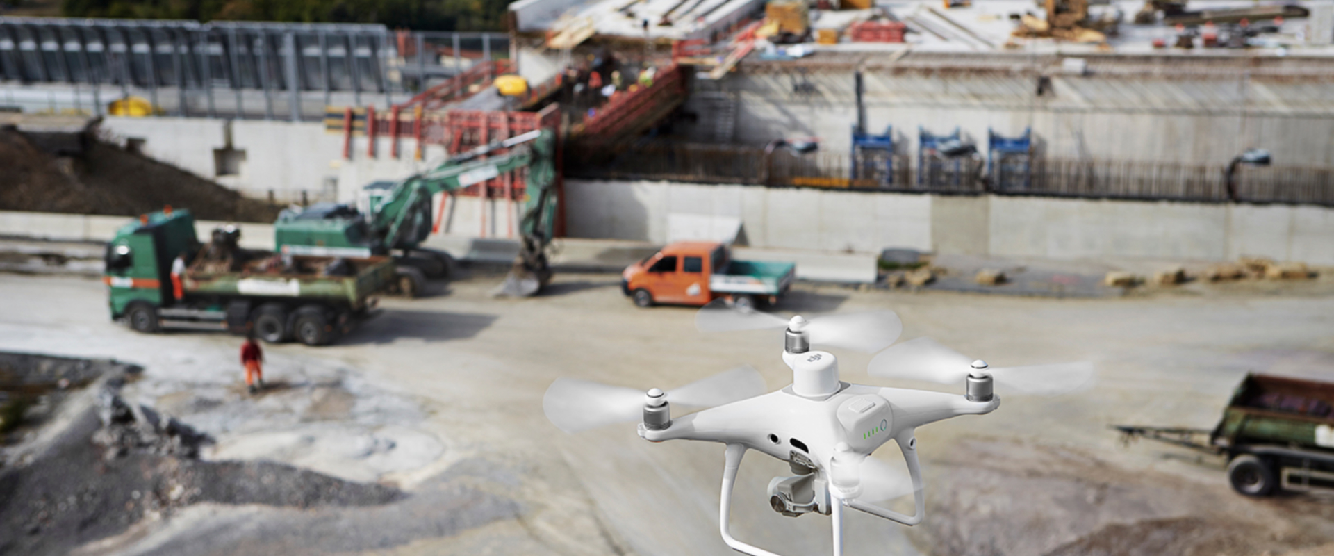
Phoenix Geo Services Ltd. is one of the leading providers of high-performance remote sensing and geo-spatial solutions in Egypt. We offer clear-cut aerial surveying and aero-photogrammetry services, enabling our clients resolve complex industrial challenges and operate efficiently and optimally.
We provide end-to-end solutions best suited to your needs for a large set of market segments including 3D Modeling, Orthomosaic Mapping, Digital Elevation Models (DEMs), Digital Surface Models (DSMs), Digital Terrain Model (DTMs), Contour Mapping, Point Clouds and As Built.
Our clients base includes industries such as Oil & Gas, Real Estate, Agriculture, Irrigation, Infrastructure, Construction, Mining & Aggregates, Urban Planning & Development, Public Safety, Environmental Research and more.
No matter which industry you are from, get in touch with our team and industry experts to learn more about our visual data sets. We are fully equipped to handle your project while delivering the best and most effective solutions that would serve your business need. We also provide technical, commercial and management advisory services to help you make an informed decision regarding your business.
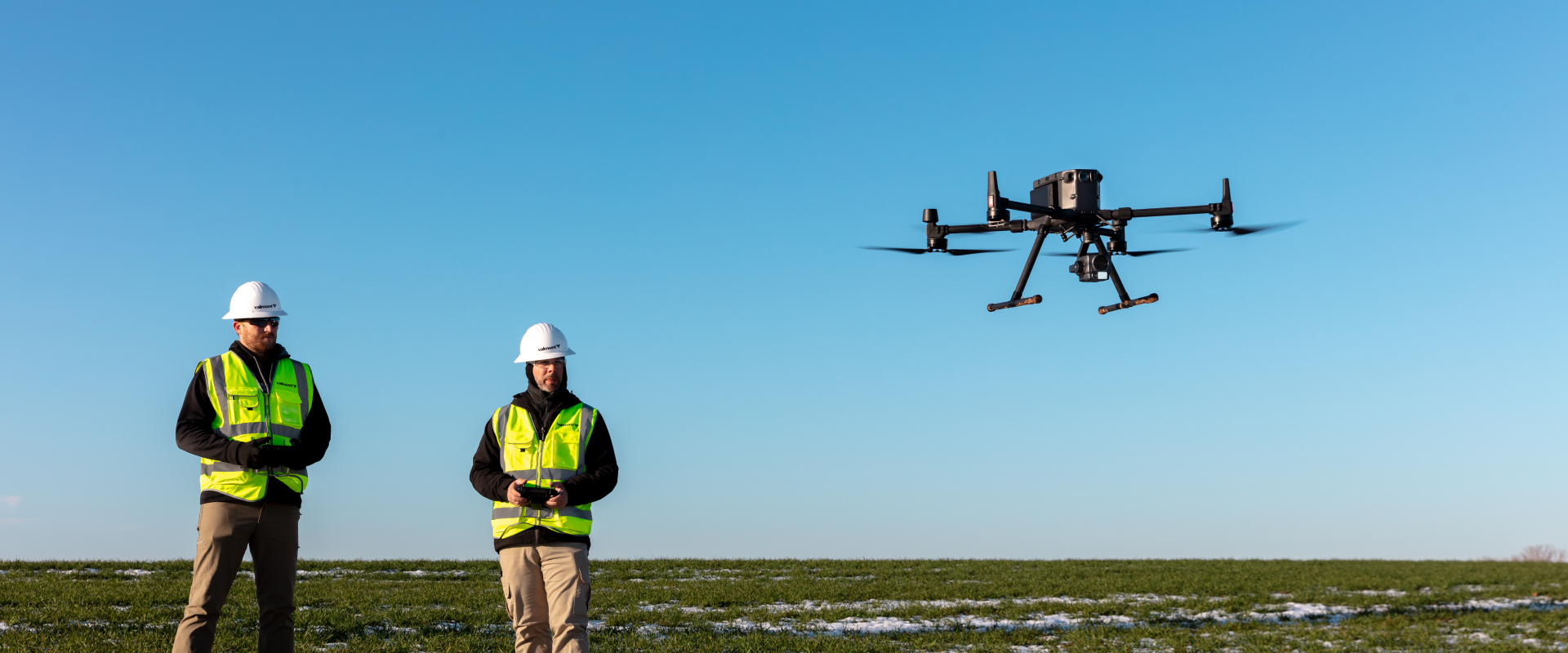
Using our specialist cameras and image processing technology, we capture high resolution imagery that would accelerate the industrial productivity of our clients’ businesses. Thanks to our highly qualified team of engineers and geomatics specialists who know how to turn visual information into business insights.
Vision
To Provide clear-cut aerial surveying and mapping solutions not only in Egypt but in the MENA region.
Mission
To create sensing intelligence that would enable smarter applications in all sectors.
Who We are?
We are leading specialists in remote sensing and geo-spatial solutions. We are fully equipped to handle your projects while delivering the best and the most effective solutions that would serve your business need. Our aim is to leave you in a position where you are able to make an informed decision.
What We Do
We generate geo-referenced orthomosaics, Digital Elevation Models (DEMs), Digital Terrain Models (DTMs), point clouds, textured 3D models and GIS products for a large set of market segments.
How We Do It
We help our clients make the promise of digital transformation a reality. We deliver exceptional insights from our visual data sets. We work collaboratively with our clients, discuss possible solutions and think collectively about how they can use this technology to improve their business performance.
Our Philosophy
Our philosophy is simple. We accelerate industrial productivity with aerial intelligence. Our approach to aerial surveying allows us to generate 2D and 3D outputs for a large set of market segments.
We are here to help you achieve whatever you want to achieve.
We are here to help you achieve whatever you want to achieve.
Our Team
We are geomatics specialists. We use aerial surveying data as an enabling technology for large-scale data capture and analytics. We provide you with specialist knowledge across a wide range of matters involving aerial surveying and mapping.
In principle, we are engineering professionals with over 20 years of diversified experience in different industries including Oil & Gas, Construction, Cement, Telecommunications, System Integration, Survey and Land Mapping and more.
We extract meaningful data through aerial information. We uncover business insights, communicate critical findings and create data-driven solutions to our clients.
We pride ourselves as being one of the only aerial surveying solutions in Egypt with this level of engineering knowledge.

Marwan Dahy
Managing Director, Co-Founder

Adham Dahi
Operations Director, Co-Founder