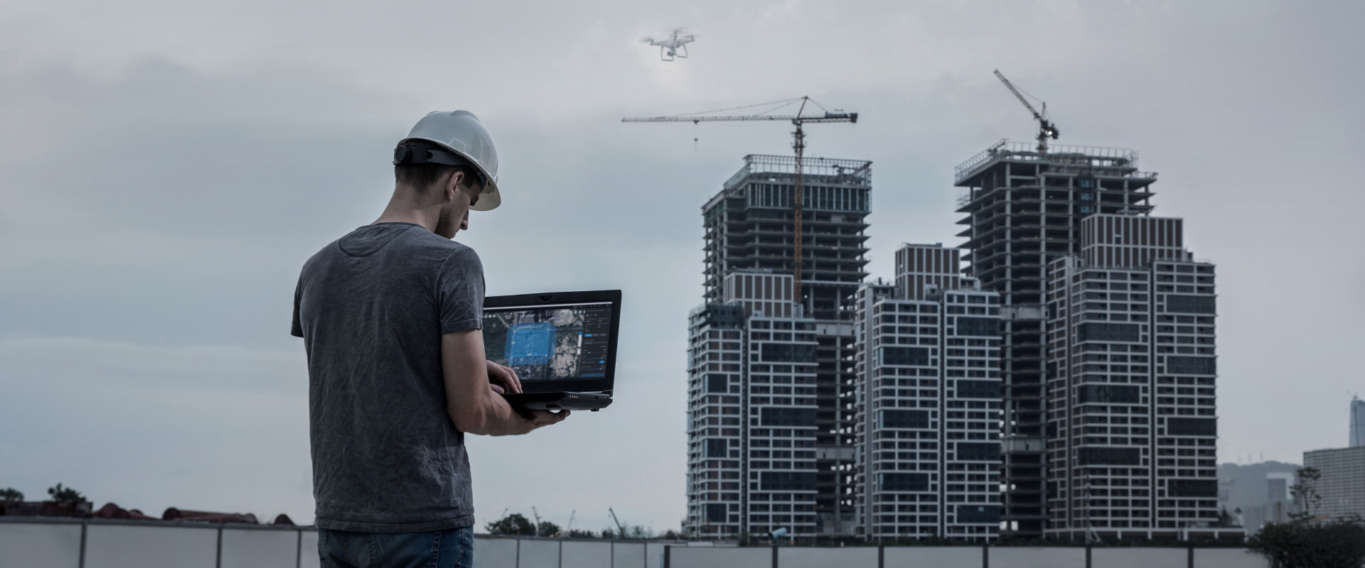
Aerial Mapping
We leverage cutting-edge geomatics to create aerial mapping and photogrammetry solutions that serve the business needs of our clients efficiently and optimally. We capture high resolution imagery when clients need visual inspections or vertical surface construction. We also perform geometric analysis including volume calculations, linear distancing, area calculations and topographic analytics.