Engineering Grade Surveys
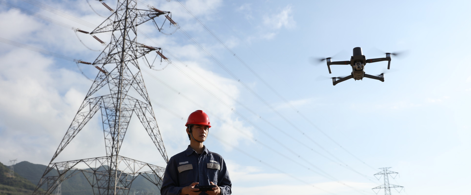
We are fully equipped to handle the aerial surveying projects of our clients while delivering the best, most effective technical solutions that suit the business needs. Using the latest drone technology, we produce survey-drone deliverables such as 3D maps and models. We deliver a highly detailed point cloud and we carry out as built surveying using the latest laser scanners to serve construction, engineering and architectural projects along with industrial facilities and oil and gas platforms.