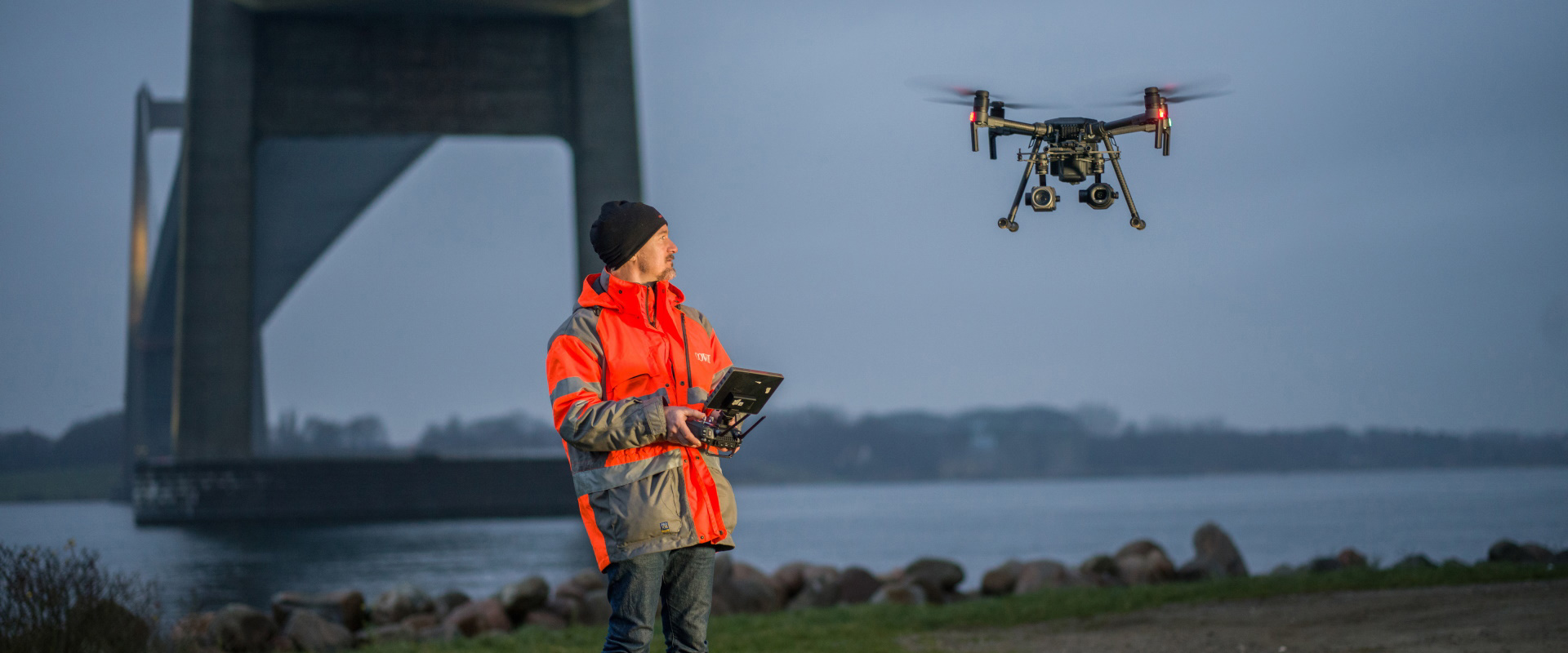
GIS and Remote Sensing
We offer remote sensing and auto-photogrammetry services turning visual information into business insights. We use drone mapping services to collect geospatial information on land and land based geographical assets such as pipelines, refineries, roads, bridges using our special processes and patented techniques. The end result is a highly accurate visual dataset.