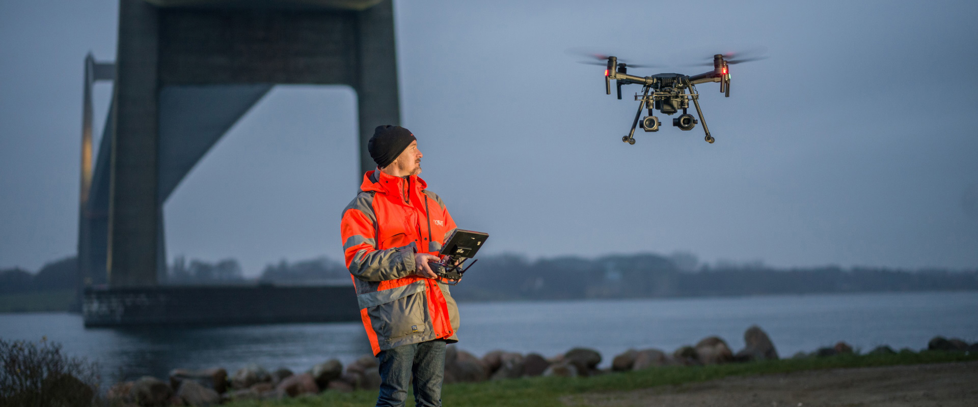
Aerial Mapping
We leverage cutting-edge geomatics to create aerial mapping and photogrammetry solutions that serve the business needs of our clients efficiently and optimally. We capture high resolution imagery when clients need visual inspections or vertical surface construction. We also perform geometric analysis including volume calculations, linear distancing, area calculations and topographic analytics.

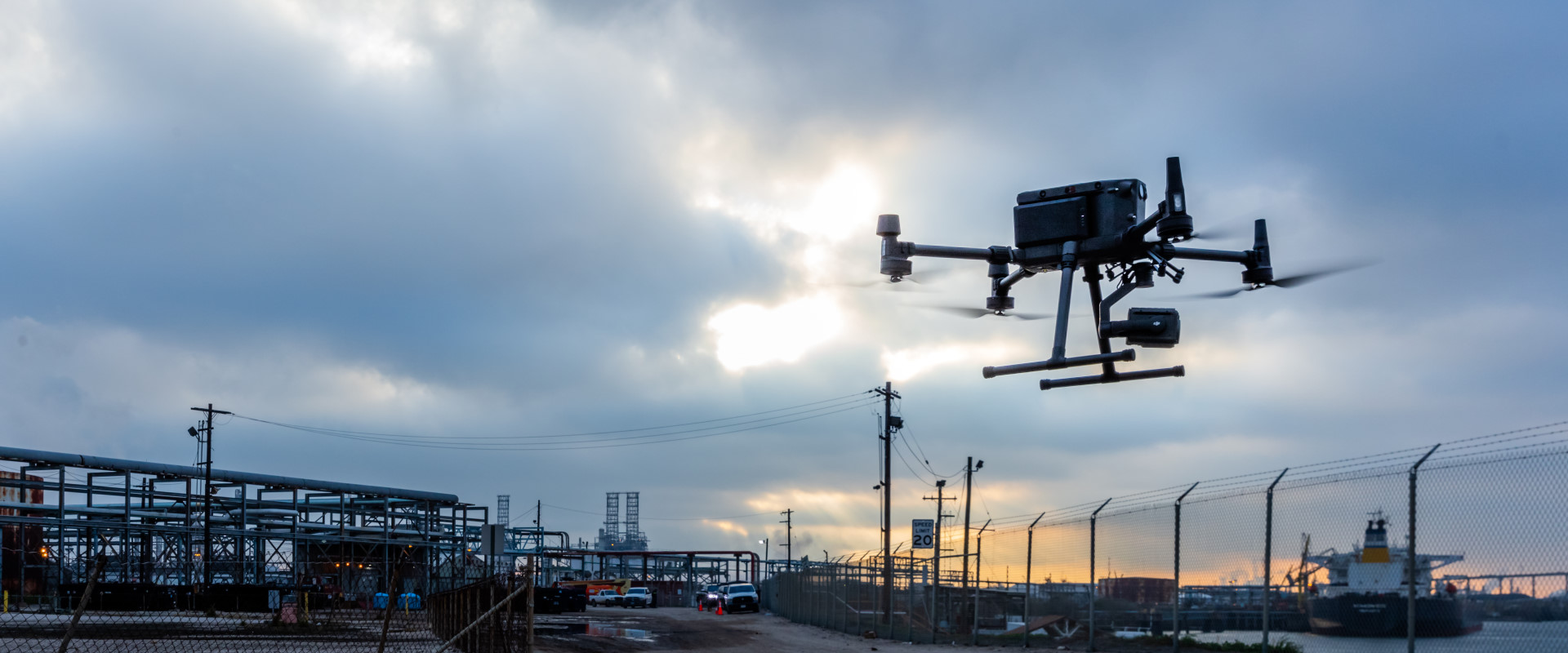
Engineering Grade Surveys
We are fully equipped to handle the aerial surveying projects of our clients while delivering the best, most effective technical solutions that suit the business needs. Using the latest drone technology, we produce survey-drone deliverables such as 3D maps and models. We deliver a highly detailed point cloud and we carry out as built surveying using the latest laser scanners to serve construction, engineering and architectural projects along with industrial facilities and oil and gas platforms.
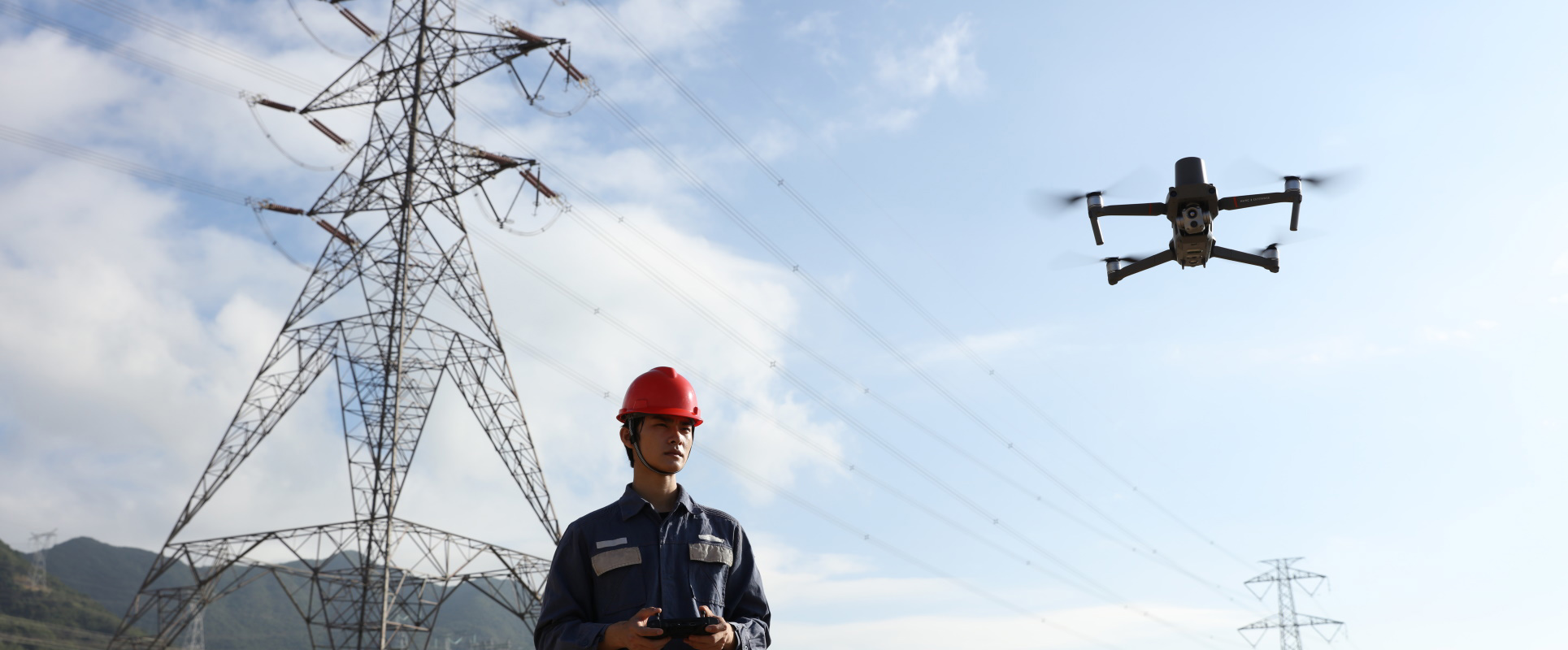
Thermal Inspections
We use cutting-edge technology to visualize, map and inspect the valuable assets of our clients. We deliver reliable asset data to enable better and faster decision making. Regardless of the industry sector, we help our clients identify and classify defects with high accuracy with the ability to reach even the most inaccessible and hazardous targets that are difficult or unsafe to get to in person.
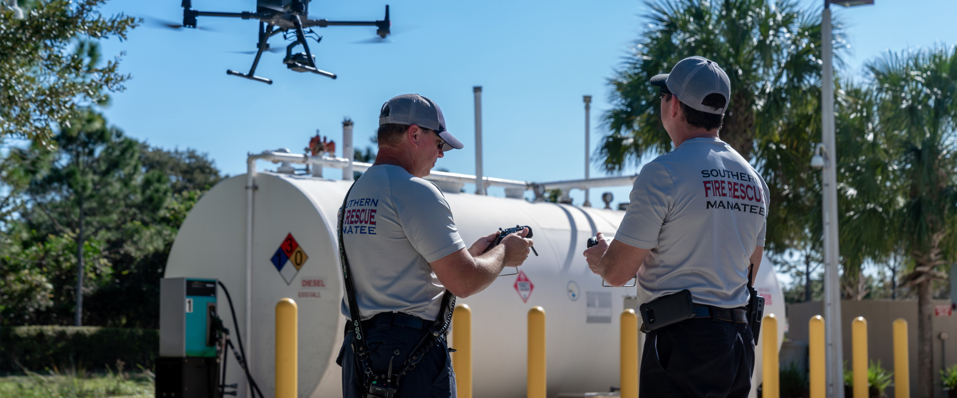
GIS and Remote Sensing
We offer remote sensing and auto-photogrammetry services turning visual information into business insights. We use drone mapping services to collect geospatial information on land and land based geographical assets such as pipelines, refineries, roads, bridges using our special processes and patented techniques. The end result is a highly accurate visual dataset.